Matakatia was originally the name of a pa above the bay.
The Whangaparāoa Peninsula nearly reaches sea level northeast of Manly, with Waiau Bay to the north and Matakatia Bay to the south. Before the Pākehā arrived, Māori took advantage of this narrow section of land to portage waka across the peninsula.
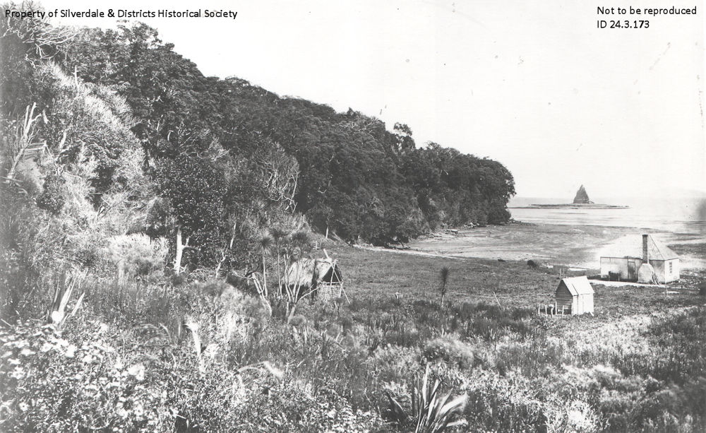
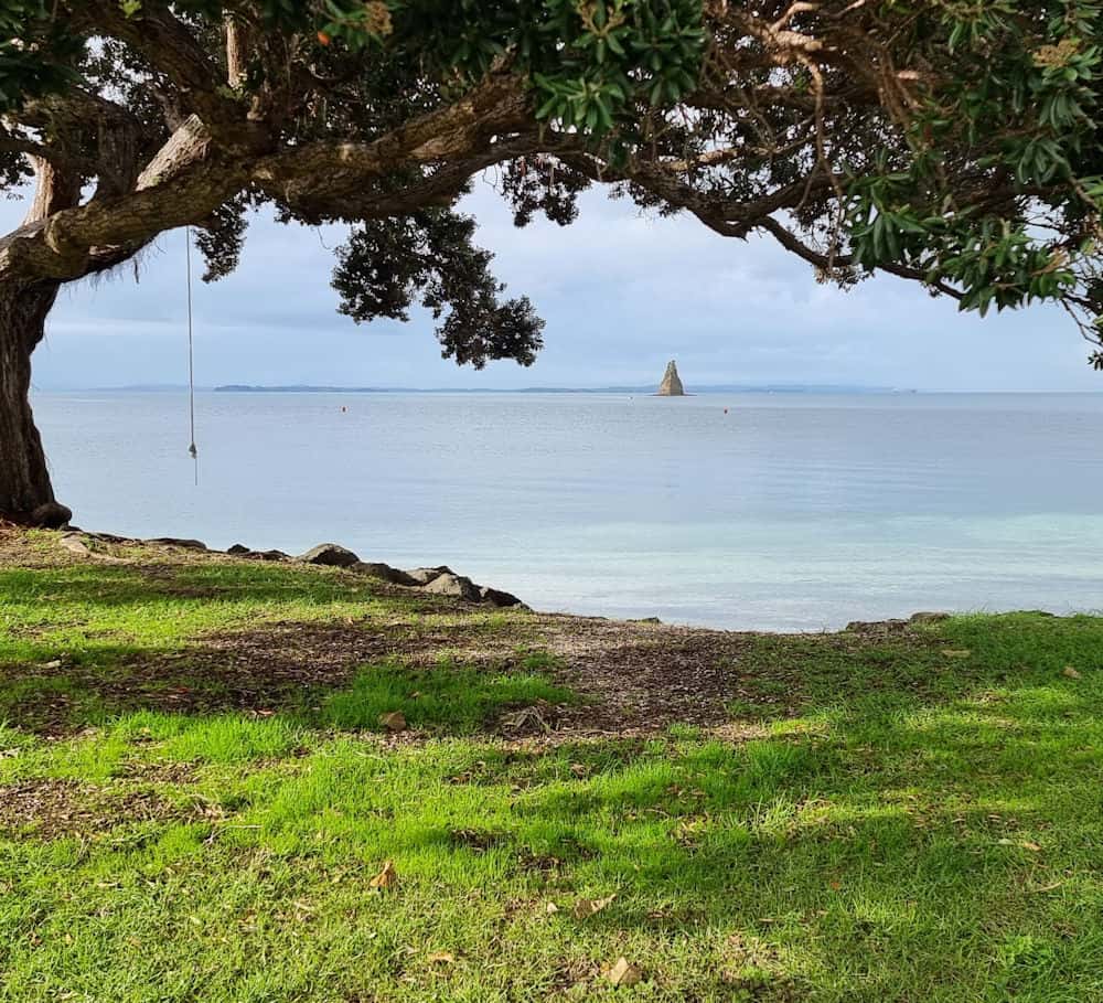
Originally known as Tindalls Bay as that was where William Tindall had his home, the name Matakatia has only been in use since the 1940’s. The small island off the coast, Kotanui Island, described by Maori as a kota nui (big cockleshell), Pakeha settlers saw it as a Frenchman’s Cap, possibly influenced by the nationality of an early settler in the area.
Around 1927, the Hardley and de Luen families purchased the section to sell via their Capital Buildings, Ltd., joint stock company. Many of the local roads still bear their names. Today, Matakatia Beach retains the feel of a mid-century bach community, with the shark-fin promontory of Kotanui Island / Frenchmans Cap visible just offshore.